Something went wrong. Please refresh the page and try again.
Something went wrong. Please refresh the page and try again.
Notifications can be turned off anytime from settings.
Item(s) Added To cart
Qty.
Something went wrong. Please refresh the page and try again.
Something went wrong. Please refresh the page and try again.
Exchange offer not applicable. New product price is lower than exchange product price
Please check the updated No Cost EMI details on the payment page
Exchange offer is not applicable with this product
Exchange Offer cannot be clubbed with Bajaj Finserv for this product
Product price & seller has been updated as per Bajaj Finserv EMI option
Please apply exchange offer again
Your item has been added to Shortlist.
View AllYour Item has been added to Shopping List
View All

No Cost EMI of Zero Emi Vendor applied on the product
You selected EMI of for monthsChangeGenerally delivered in 6 - 10 days
Item is available at . Change
You will be notified when this product will be in stock
| ||||||||||||||
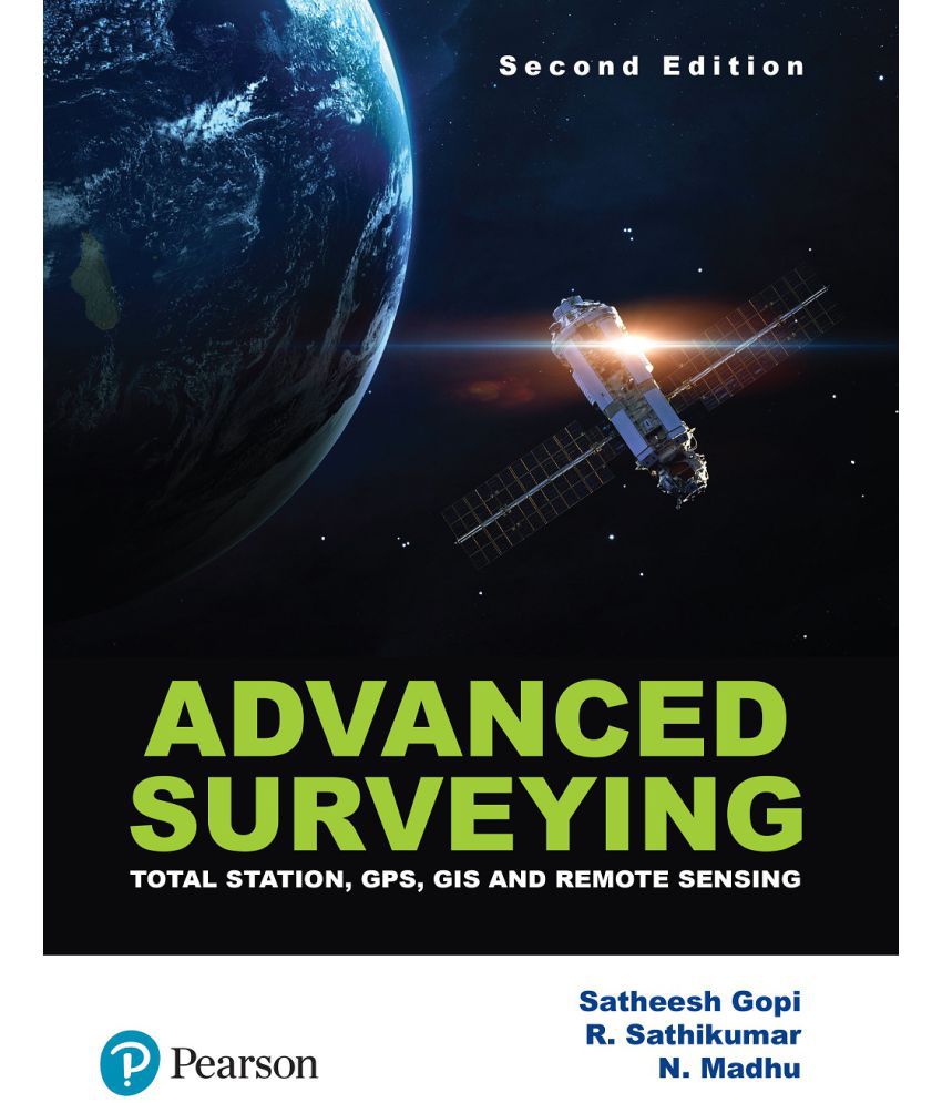
Extensively revised and updated, the second edition of Advanced Surveying includes the latest advancements and instruments in the field such as total station, electronic distance measuring (EDM), GPS and LIDAR. The modern trends of remote sensing and GIS are presented with several case studies.
A must-have for all undergraduate students of civil engineering! Practicing engineering and students studying geoinformatics/geomatics will also find the book extremely useful.
About the Author
Satheesh Gopi, the principal contributor to this book, has over 27 year' experience as a hydrographer and is currently a Deputy Chief Hydrographer in the Hydrographic Survey Wing of Kerala Port Department. He has worked with the Survey Department of Government of Dubai for
5 years as a Senior Hydrographer. He has published research papers on global positioning system, advanced surveying, digital cartography and hydrography
in various journals of national repute. Most of his research papers were presented in international conferences, such as International Federation of Surveyors (FIG), International Hydrographic Organization (IHO) and Map Middle East. He has worked as guest faculty in reputed engineering colleges and universities
R. Sathikumar is currently the Principal, at the Rajadhani Institute of Engineering and Technology,
Thiruvananthapuram. He retired from the Government service as Principal, Government College of
Engineering, Burton Hill, Thiruvananthapuram. He received his post-graduate degree, in Transportation
Engineering from IIT Kanpur in 1989 and also pursued his Ph.D. from IIT Roorkee in 1996.
N. Madhu is a retired Professor (Civil) from the College of Engineering, Thiruvananthapuram. He
obtained his M.Tech. in Traffic and Transportation Engineering from IIT Madras in 1991.
Features
• NEW - Chapters on Basics of Global Positioning Systems and Surveying Using Global Positioning Systems
• NEW - Chapter on Spatial Analysis discussing classification of analytic functions of a GIS and overlay function.
• NEW – Appendix A deals with the basic geodetic aspects required for GPS-based surveying
• NEW - Appendices B–D provide step-by-step field procedure of various models of total stations
• Covers modern surveying instruments such as automatic levels, digital levels, micro-optic theodolites, LIDAR, digital planimeters and laser levels
• Dedicated chapter on Applications of GIS with inclusion of new case studies
Table Content
CHAPTER 1 Fundamental Concepts of Geographic Information System
CHAPTER 2 GIS Data Models
CHAPTER 3 Data Acquisition
CHAPTER 4 Maps and Map Projections
CHAPTER 5 The Coordinate System
CHAPTER 6 Spatial Analysis
CHAPTER 7 Application of GIS
CHAPTER 8 Basics of Total Station
CHAPTER 9 Electronic Distance Measurements
CHAPTER 10 Surveying Using Total Station
CHAPTER 11 Data Collection Procedures
CHAPTER 12 Automatic Level, Digital Level and Optical Theodolites
CHAPTER 13 Aerial Surveying
CHAPTER 14 Fundamentals of Remote Sensing
CHAPTER 15 Basics of Global Positioning System
CHAPTER 16 Surveying Using Global Positioning System
The images represent actual product though color of the image and product may slightly differ.
Advanced Surveying(2e):Total Station, GPS, GIS & Remote Sensing by Pearson
Rs. 533
Register now to get updates on promotions and
coupons. Or Download App