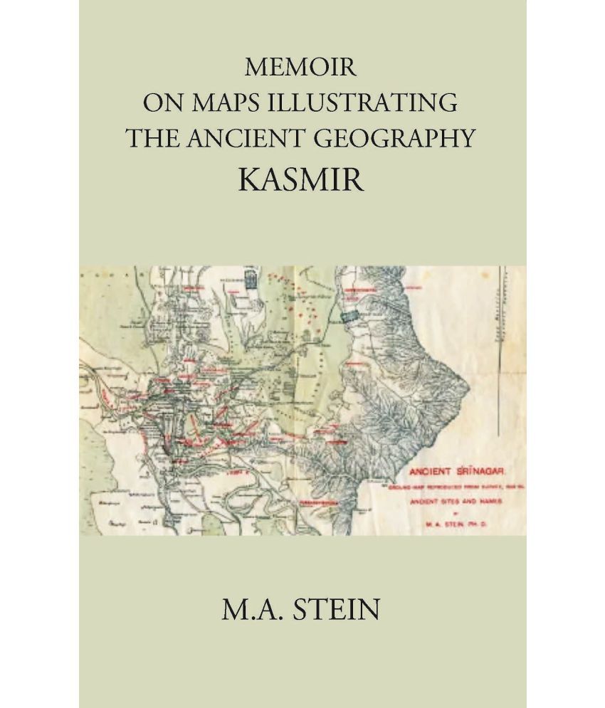
About the book:- In order to place before the student of the Kashmir chronicle the results of these researches, as well as the evidence on which they were based the preparation of maps appeared necessary that would show the modern topography in full detail together with the ancient sites and local names identified. The preparation of new ground map to show on a sufficiently large scale, the details of the modern topography of Kashmir would have cost much trouble and entailed very heavy, almost prohibitory, expense. At the same time it had to be considered that there were no other materials available for such a map but those suplied by the Trignometrical survey operations in Kashmir (1856-1860). About the Author:- Sir Marc Aurel Stein, KCIE, FRAS, FBA (1862 – 1943) was a Hungarian-born British archaeologist, primarily known for his explorations and archaeological discoveries in Central Asia. He was also a professor at Indian universities. Stein was also an ethnographer, geographer, linguist and surveyor. His collection of books and manuscripts bought from Dunhuang caves is important for the study of the history of Central Asia and the art and literature of Buddhism. He wrote several volumes on his expeditions and discoveries which include Ancient Khotan, Serindia and Innermost Asia. In 1884 he went to England to study oriental languages and archaeology. In 1886, he met the Indologist and philologist Rudolf Hoernlé in Vienna at a conference of Orientalists, learning about an ancient mathematical manuscript discovered in Bakhshali (Peshawar). The Title 'MEMOIR ON MAPS ILLUSTRATING THE ANCIENT GEOGRAPHY KASMIR written/authored/edited by M. A. STEIN', published in the year 2021. The ISBN 9788121226332 is assigned to the Paperback version of this title. This book has total of pp. 238 (Pages). The publisher of this title is Gyan Publishing House. This Book is in ENGLISH. . Size of the book is 13.34 x 21.59 cms Vol:-

