Something went wrong. Please refresh the page and try again.
Something went wrong. Please refresh the page and try again.
Notifications can be turned off anytime from settings.
Item(s) Added To cart
Qty.
Something went wrong. Please refresh the page and try again.
Something went wrong. Please refresh the page and try again.
Exchange offer not applicable. New product price is lower than exchange product price
Please check the updated No Cost EMI details on the payment page
Exchange offer is not applicable with this product
Exchange Offer cannot be clubbed with Bajaj Finserv for this product
Product price & seller has been updated as per Bajaj Finserv EMI option
Please apply exchange offer again
Your item has been added to Shortlist.
View AllYour Item has been added to Shopping List
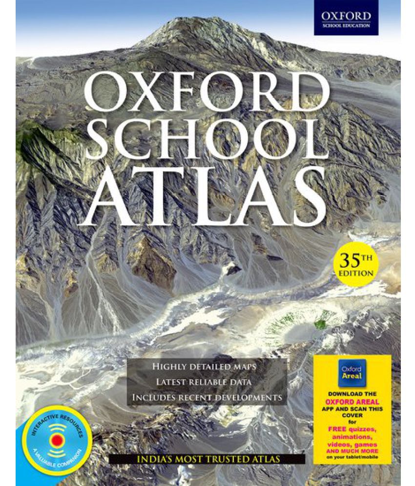
View AllSorry! Oxford School Atlas - Highly Detailed Maps Latest Reliable Data Includes Recent Developments - 35 Edition (English, Hardcover, Oxford) is sold out.


You will be notified when this product will be in stock
| ||||||||||||||
Now, Oxford University Press brings to you a new and improved Atlas Areal app, which you may access on your mobile phones and tablets. Simply scan the cover of your Oxford School Atlas 35th edition to download and use exciting animations and fun interactivities, maps, quizzes and much more, all free of cost. Features Highly detailed maps including new and informative thematic maps of India.
Latest reliable data culled from authoritative sources such as Census of India 2011, Statistical Year Book 2015, Planning Commission Reports, PRB 2015, HDR 2015, FAO, UNSD, WMO, The World Bank, British Geological Survey, etc.
Separate physical and political maps of India.
Maps and data reflecting recent geopolitical and socio-economic developments and climatic and environmental concerns focussing on India and the world.
Comprehensive coverage of the continents including thematic features of each continent, and regional maps.
Animations bring alive key geographical and historical concepts covered in the textbooks.
Videos on mapping techniques provide an introduction to the maps and its features.
Theme-based interactive games provide a lively platform to help the children explore the real-life application of the topics and concepts learnt in Geography.
Interactive quizzes allow for a fin-filled testing experience. Printable maps for revision and practice.
Large-scale maps feature important information on select regions of the world, Indian cities and world cities.
The images represent actual product though color of the image and product may slightly differ.
Register now to get updates on promotions and
coupons. Or Download App