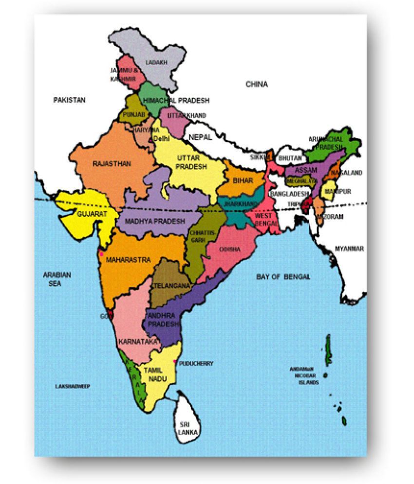
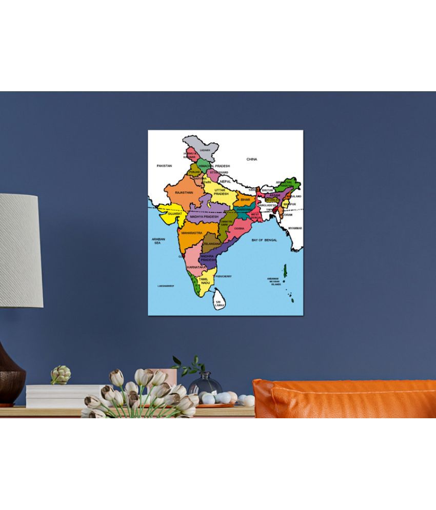
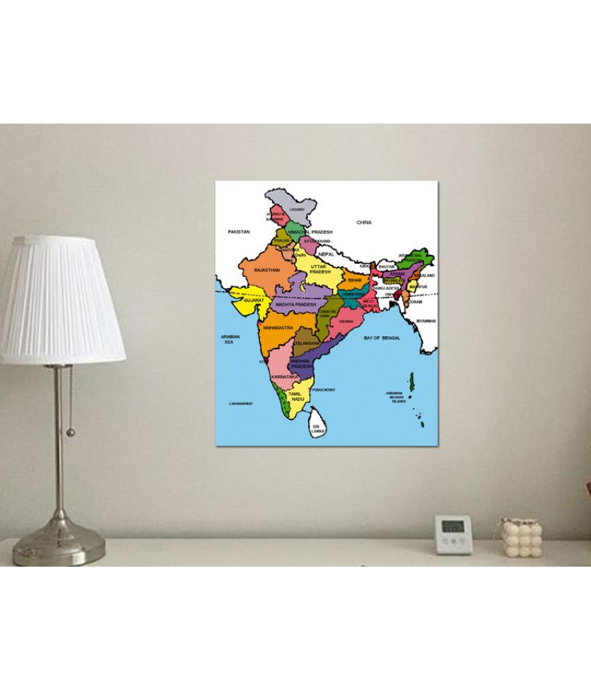
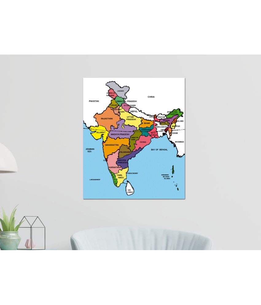
India, a country in South Asia is the seventh-largest country in the world. Covering both physical and political features of the country this map shows states, UTs, and their capitals. It is a perfect wall chart for educational use for kids to learn from this poster. Ideal for ages 3-10 Highly detailed Up-to-date Outstanding quality Ideal for schools, homes, offices, or any learning environment with all cartographic updates, this map is makes learning fun. It will help young geographers able to understand the symbols that show features such as rivers, roads, cities, or mountains and also know distances so that one knows how far away one thing is from another. This Chart or Poster of India Map will help to discover states and learn them easily which can be remembered with the help of this Poster. Easy way for kids to learn and remember the states by looking on this Map of India Poster. Our educational posters for kindergarten and Pre-K are made with high-quality art paper covered in durable laminate you can write on with water-based or dry erase markers and reuse every year in your class.


