Something went wrong. Please refresh the page and try again.
Something went wrong. Please refresh the page and try again.
Notifications can be turned off anytime from settings.
Item(s) Added To cart
Qty.
Something went wrong. Please refresh the page and try again.
Something went wrong. Please refresh the page and try again.
Exchange offer not applicable. New product price is lower than exchange product price
Please check the updated No Cost EMI details on the payment page
Exchange offer is not applicable with this product
Exchange Offer cannot be clubbed with Bajaj Finserv for this product
Product price & seller has been updated as per Bajaj Finserv EMI option
Please apply exchange offer again
Your item has been added to Shortlist.
View AllYour Item has been added to Shopping List
View AllSorry! South Euclid is sold out.


You will be notified when this product will be in stock
Brief Description
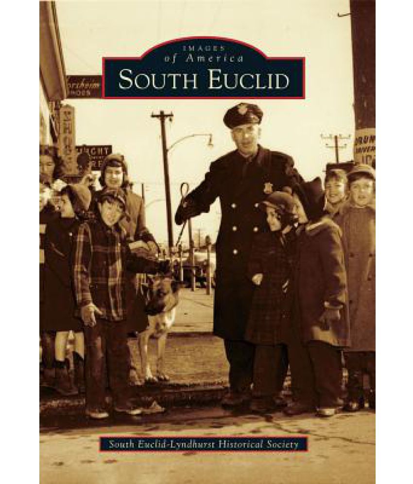
Moses Cleavelands surveyors began dividing Connecticuts Western Reserve into townships and tracts for sale to settlers in 1796. The southern portion of Euclid Township included a wooded plateau that could be harvested and cleared for farming and orchards. Small factories made wooden baskets for carrying produce to the markets in the growing city of Cleveland to the west. Streambeds deeply eroded the edge of the plateau, exposing a rich layer of dense sandstone, and as a result quarries developed along Euclid Creek where this valuable stone was most accessible. A small, separate community called Bluestone grew to support the industry but was absorbed when the quarries became uneconomical. In 1877, a plank toll road named Mayfield was built eastward from Cleveland through the area that became South Euclid. In the early 1900s, the planks were replaced by paved road and an interurban rail line carrying both passenger and freight cars. The road eased transportation for farmers and became the heart of todays business district.
Learn More about the Book
Moses Cleaveland s surveyors began dividing Connecticut s Western Reserve into townships and tracts for sale to settlers in 1796. The southern portion of Euclid Township included a wooded plateau that could be harvested and cleared for farming and orchards. Small factories made wooden baskets for carrying produce to the markets in the growing city of Cleveland to the west. Streambeds deeply eroded the edge of the plateau, exposing a rich layer of dense sandstone, and as a result quarries developed along Euclid Creek where this valuable stone was most accessible. A small, separate community called Bluestone grew to support the industry but was absorbed when the quarries became uneconomical. In 1877, a plank toll road named Mayfield was built eastward from Cleveland through the area that became South Euclid. In the early 1900s, the planks were replaced by paved road and an interurban rail line carrying both passenger and freight cars. The road eased transportation for farmers and became the heart of today s business district."
About the Author
The South Euclid Historical Society was founded in 1966 to preserve the history of the city. Its archives are the source of many materials used to assemble this book by members Bob McKimm and Frank Sillag.
The images represent actual product though color of the image and product may slightly differ.
Register now to get updates on promotions and
coupons. Or Download App